-
dima
-
» Katowice Map of Unemployment
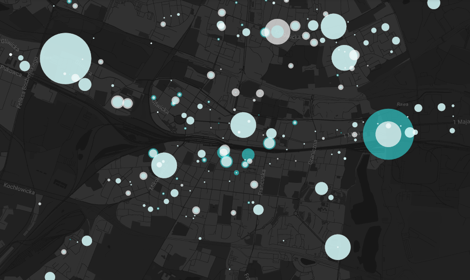
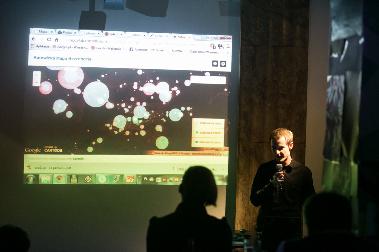
The project’s objective is to create a regularly updated, interactive map of unemployment in Katowice, which allows the user to visualize the attached data layers (these currently include general unemployment figures and unemployment rates for under 25s and over 50s, but can be extended to comprise new data). In addition to sharing current and historical data on unemployment, the project also aims to promote the Geographic Information System (GIS) as a clear data visualisation system in the form of maps, allowing for a fast spatial analysis of selected phenomena. The data used comes from materials published by the County Employment Office in Katowice. By Bartosz Chuderski | Go to the map.
Medialab Katowice
a brief roundup of 2013